 everylane
Early access · Guernsey
How much of the island have you actually run?
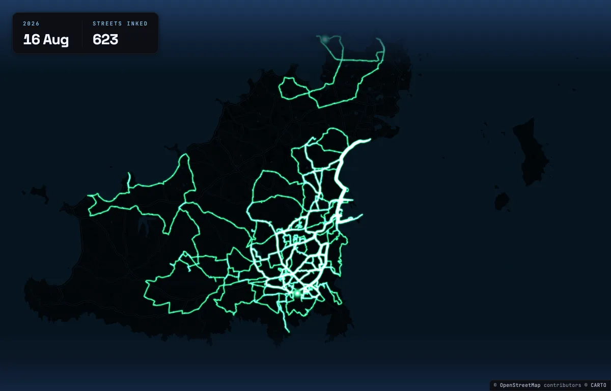
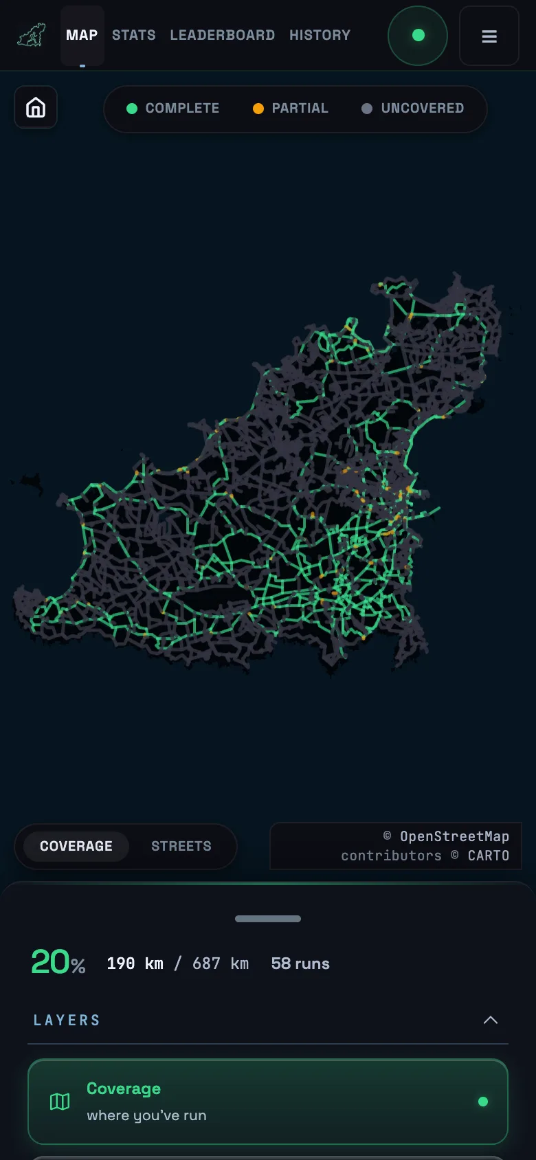
everylane maps your whole Strava history onto every road in Guernsey, then shows you what's left.

Free, with ten places for now. Strava caps a new app until it has reviewed it.